 ★ 4.7/5 · 0 reviews
Live Earth
Real-time geospatial intelligence for mission-critical operations with AiDOOS.
About Live Earth
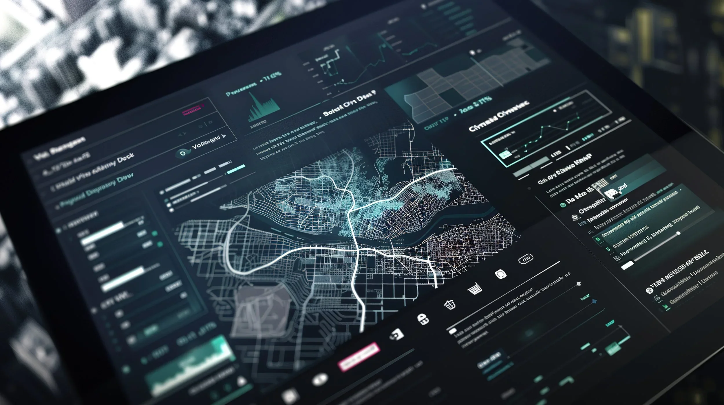
Live Earth is a geospatial intelligence and real-time visualization platform that consolidates diverse live data streams—such as weather, traffic, video, IoT sensors, city systems, and operational feeds—into a single interactive map for instant situational awareness. By synchronizing data in time and space, it allows operators to see what is happening, where, and when in one unified operational picture, accelerating response and improving coordination across teams. The core value proposition of Live Earth lies in its ability to fuse hundreds of real-world data feeds into an intuitive visual layer, enabling agencies and enterprises to monitor incidents, track assets, reconstruct events, and perform forensic analysis with play, pause, and rewind capabilities. This directly supports mission-critical use cases in public safety, emergency response, transportation, utilities, and security operations where latency, fragmentation, and data overload can cost time and lives. AiDOOS acts as the execution and integration layer that connects Live Earth into the broader enterprise ecosystem, delivering secure APIs, connectors, and workflows into existing systems of record and engagement. AiDOOS deploys and governs Live Earth in complex multi-cloud or GovCloud-style environments, aligning it with enterprise security, compliance, and data governance requirements. AiDOOS also optimizes Live Earth by automating data onboarding, enrichment, and routine operational tasks, so teams get a continuously reliable, real-time geospatial intelligence environment that scales across agencies, regions, and global operations.
Challenges It Solves
- Fragmented operational data across weather, traffic, video, IoT, and dispatch systems.
- Slow incident detection and response due to lack of real-time situational awareness.
- Limited ability to reconstruct events or correlate historical data for investigations.
- Difficulty integrating geospatial intelligence into existing enterprise applications and workflows.
- Governance, security, and compliance gaps when scaling GEOINT across multiple agencies.
Screenshots


Watch Demo
Use Cases
Real-Time Public Safety Operations
Unify 911 calls, CAD data, cameras, sensors, and external feeds on a live map to monitor incidents, dispatch resources, and coordinate multi-agency response with full situational awareness.
Smart City and Critical Infrastructure Monitoring
Combine traffic, utilities, environmental sensors, and maintenance data to monitor city operations, detect anomalies, and prioritize interventions across transportation, power, and water networks.
Transportation and Logistics Visibility
Visualize fleets, routes, traffic, and weather to anticipate delays, reroute assets, and protect cargo in real time with a geospatial command view.
Pricing
Pricing available on request
Live Earth pricing is customized based on your team size, integrations, and requirements. AiDOOS will get you a scoped proposal — for free.
Key Features
All critical feeds on one interactive map.
Improves cross-team visibility and reduces time-to-insight across operations.Reconstruct every second of an incident.
Accelerates investigations and root-cause analysis with precise temporal context.Weather, traffic, crime, sensors, and more in one place.
Enables richer situational awareness and predictive risk assessment.Enterprise-grade security and governance by design.
Supports regulated and mission-critical workloads with consistent controls.Reviews
No reviews yet for Live Earth
AiDOOS-verified review data is collected after deployment. Deploy this product and be among the first to share your experience.
Enterprise Readiness
Integrations
5 total appsIntegrate live and recorded video streams into the geospatial view to correlate visual evidence with other real-time data feeds.
Connect computer-aided dispatch and incident management platforms to display events, units, and status updates on the map.
Overlay dynamic weather, storm, and environmental conditions for risk-aware planning and response.
Incorporate traffic flow, congestion, and road closure data to optimize routing and mobility decisions.
Ingest telemetry from cameras, access control, environmental and infrastructure sensors for continuous situational awareness.
AiDOOS Managed Deployment
Deploy Live Earth in
AiDOOS handles setup, CRM integration, SSO config, and user provisioning. Your team goes live — not your IT department.
Prerequisites
Configuration Options
A Virtual Delivery Center for Live Earth
Pre-vetted experts and AI agents in the loop, assembled as a delivery pod. Pay in Delivery Units — universal pricing across roles, seniority, and tech stacks. No hiring, no contracting, no procurement cycle.
- Plans from $2,000 — Starter Pack, 10 Delivery Units, 90 days
- Refundable on unused Delivery Units, anytime — no questions asked
- Re-delivery guarantee on acceptance miss
- Pre-flight delivery sizing — you see the plan before you commit
How a Virtual Delivery Center delivers Live Earth
Outcome-based delivery via AiDOOS’s VDC model. Why VDC vs traditional consulting? →
Outcome-Based
Pay for results, not hours
Milestone-Driven
Clear deliverables at each phase
Expert Network
Access to certified specialists