
manot
Automate aerial image annotation to accelerate AI model development and deployment
About manot
Challenges It Solves
- Manual aerial image annotation is labor-intensive, expensive, and creates project bottlenecks
- Data labeling inconsistency and human error reduce model accuracy and require extensive QA cycles
- Limited scalability when handling large volumes of aerial imagery from multiple sources
- Time-to-insight is delayed, preventing organizations from leveraging real-time geospatial intelligence
- High costs of skilled annotation workforce divert budget from model development and deployment
Proven Results
Key Features
Core capabilities at a glance
Automated Aerial Image Annotation
AI-powered annotation for rapid dataset preparation
Reduces manual annotation time by up to 75% while maintaining quality
Multi-Scale Object Detection
Identify features across variable aerial perspectives
Detects objects at multiple resolutions and altitudes with high precision
Batch Processing & Scalability
Handle thousands of aerial images simultaneously
Process large imagery datasets in hours instead of weeks
Quality Assurance & Validation
Ensure annotation accuracy with built-in QA workflows
Maintains 95%+ annotation accuracy through automated validation
API-First Integration
Seamless connection to ML pipelines and data platforms
Integrates with existing workflows without disrupting operations
Ready to implement manot for your organization?
Real-World Use Cases
See how organizations drive results
Integrations
Seamlessly connect with your tech ecosystem
TensorFlow
Direct export of annotated datasets to TensorFlow format for model training
PyTorch
Seamless dataset export compatible with PyTorch computer vision workflows
AWS SageMaker
Native integration for data preparation and model training pipelines
Azure Machine Learning
Direct connection to Azure ML datasets and training environments
QGIS
Integration with geospatial analysis platforms for enhanced visualization
Cloud Storage (S3, GCS, Azure Blob)
Direct read/write access to major cloud storage providers
REST APIs
Custom integration support for proprietary systems and workflows
Implementation with AiDOOS
Outcome-based delivery with expert support
Outcome-Based
Pay for results, not hours
Milestone-Driven
Clear deliverables at each phase
Expert Network
Access to certified specialists
Implementation Timeline
See how it works for your team
Alternatives & Comparisons
Find the right fit for your needs
| Capability | manot | Unrealme | Colossyan Creator | Tecton |
|---|---|---|---|---|
| Customization | ||||
| Ease of Use | ||||
| Enterprise Features | ||||
| Pricing | ||||
| Integration Ecosystem | ||||
| Mobile Experience | ||||
| AI & Analytics | ||||
| Quick Setup |
Similar Products
Explore related solutions

Unrealme
Transform Your Visual Identity with AI-Generated Images Unlock the power of artificial intelligence…
Explore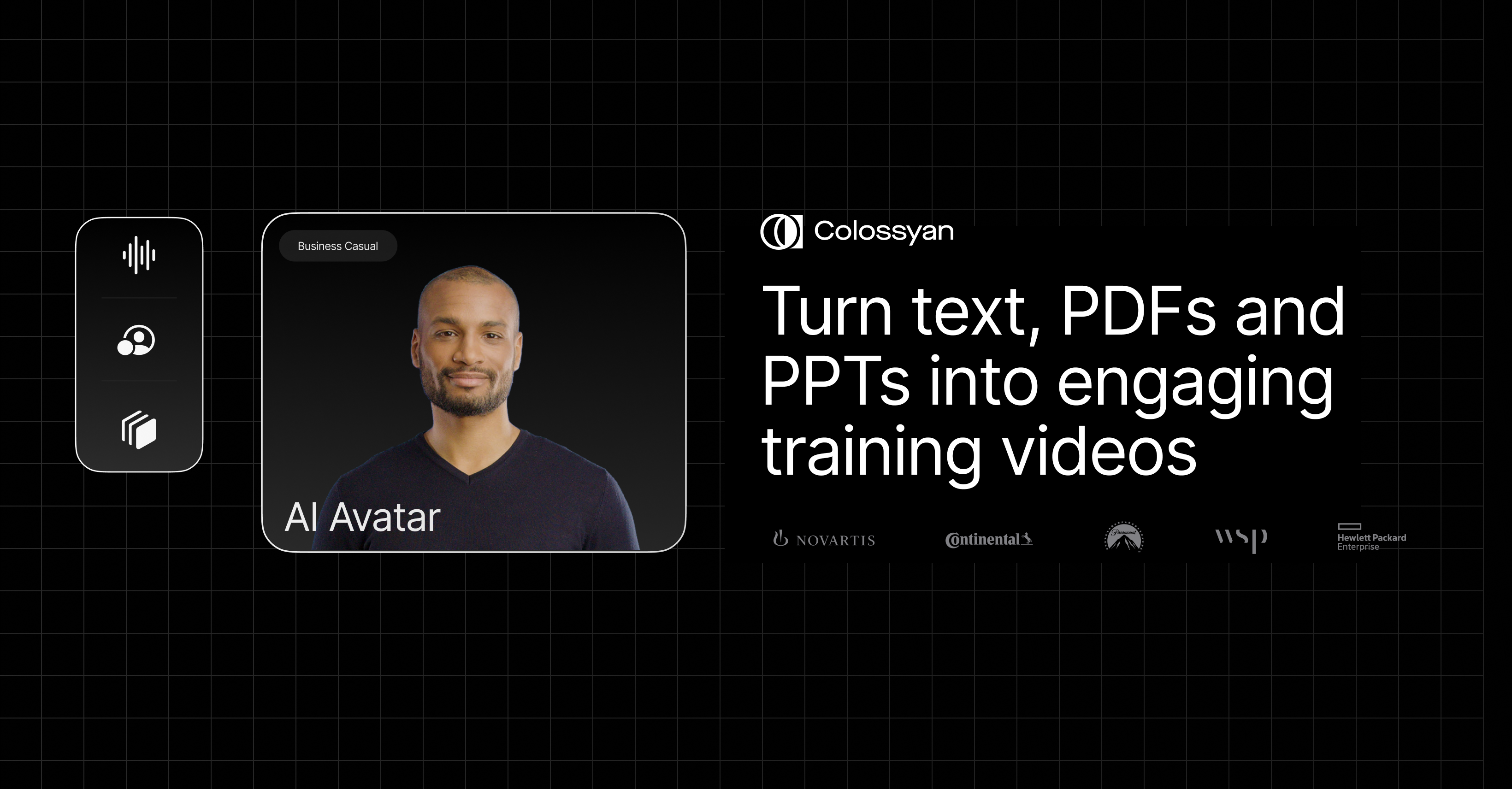
Colossyan Creator
Colossyan: Transforming Workplace Learning with AI-Driven Video Creation Colossyan is an advanced A…
Explore
Tecton
Transform Your Machine Learning Workflow with a Feature Store Unlock the full potential of your dat…
Explore